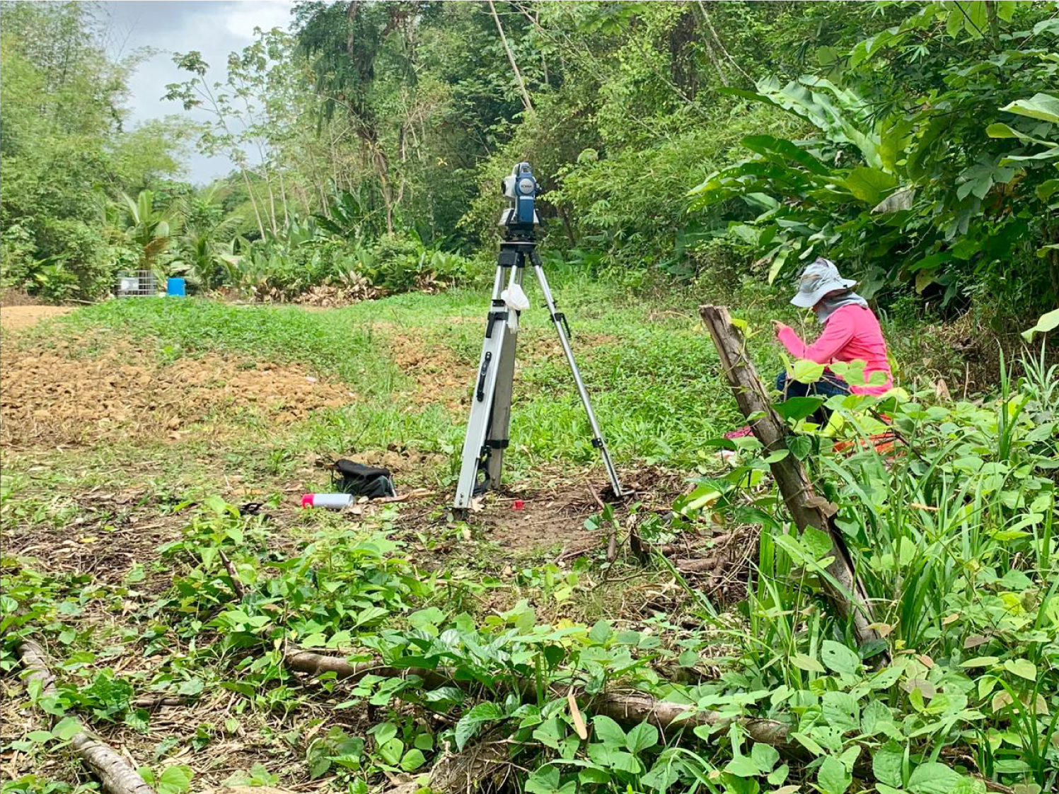
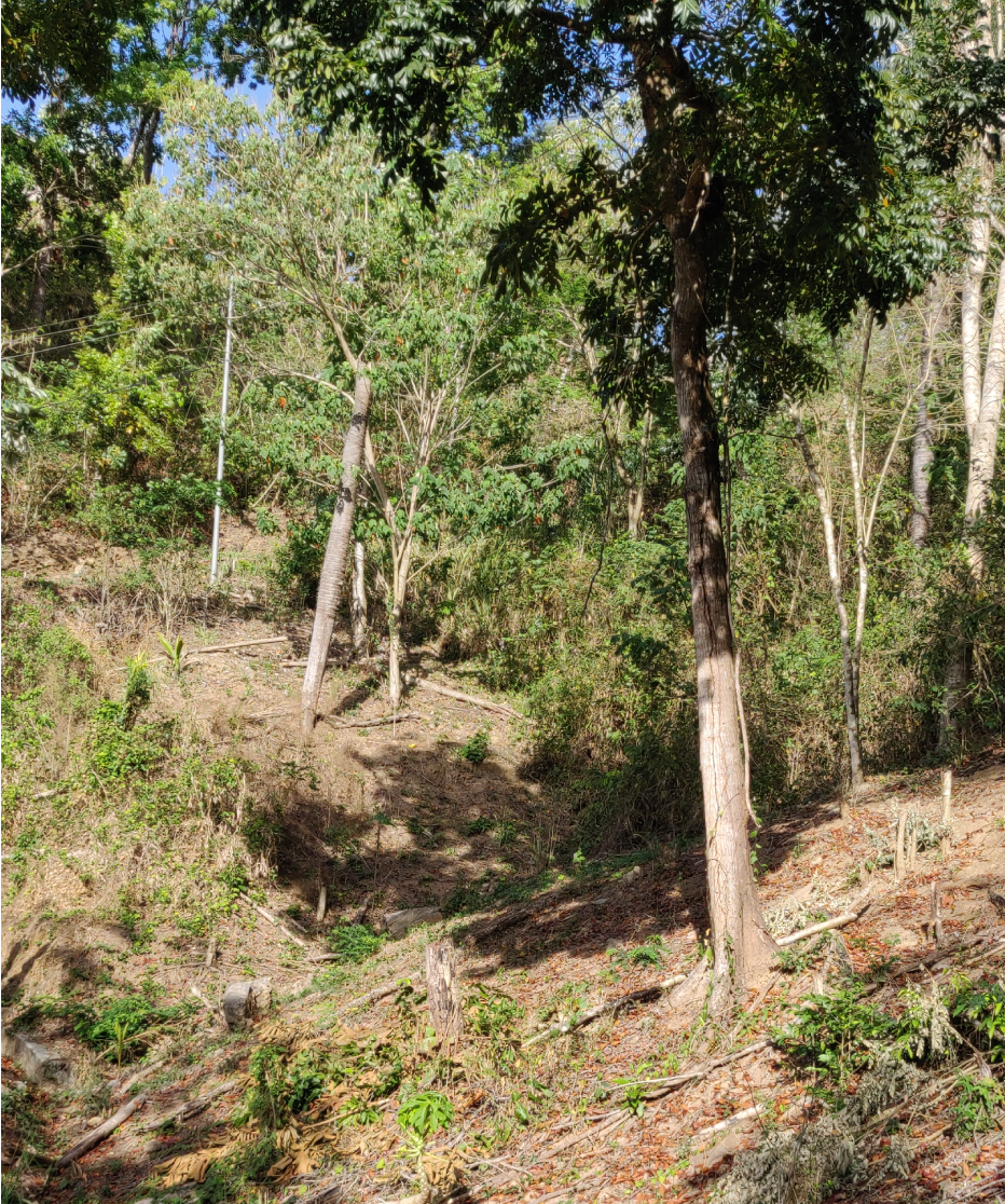
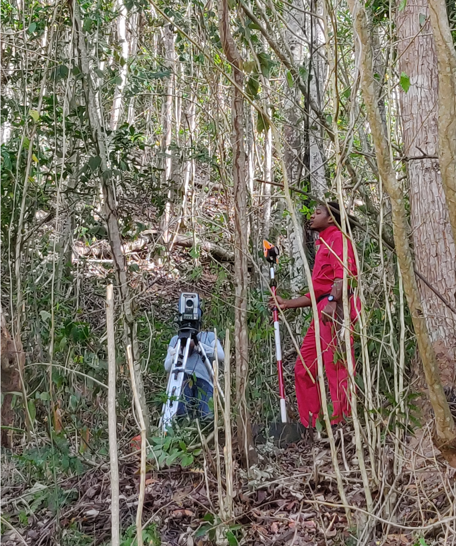
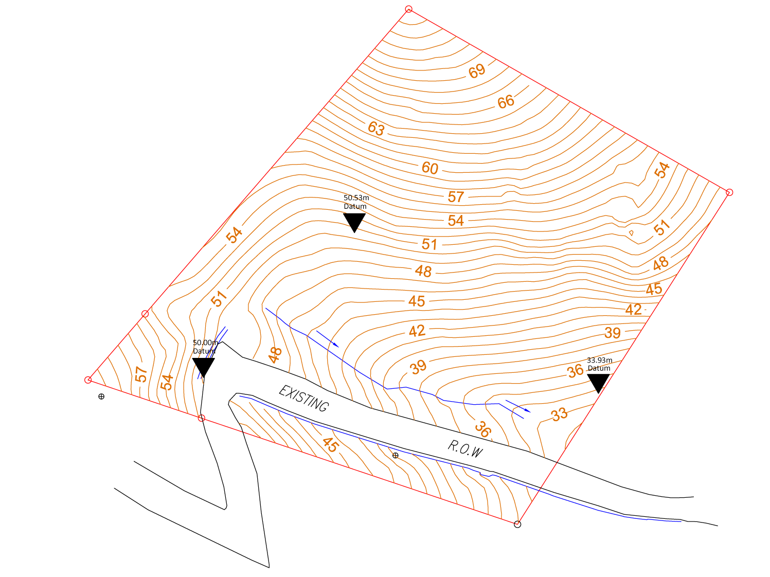
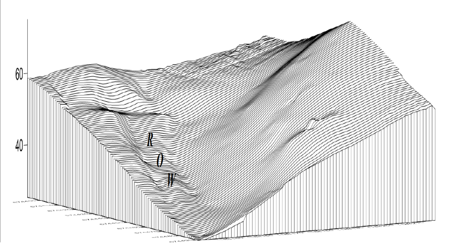
Project of services rendered for the topographic and as-built survey of a parcel of land. This involves the parcel situated in the Ward of Tacarigua, comprising of approximately 0.4048 Hectares.
When
June 2018
Who
Athena Lakhiram Nicholas Khan Shazam Ali Cyrstal Cooper Zahayre Lewis Vijay Ramkissoon Amresh Singh Devorah John Mehindra Maharaj Akshay Singh Victor Joseph
Topographic Surveys are used to identify and map the relief of the ground and existing features on the surface of the earth or slightly above or below the earth’s surface. One of the main purposes of the survey is to serve as a planning tool for the design of a residence or building, or design of a road or driveway. With this type of survey it is necessary to show perimeter boundary lines in order for the designers to accurately show zoning and other agency required setbacks. The process of conducting topographic surveys involves initially, the establishment of the boundaries of the parcel, establishing a basic framework of horizontally and vertically located control points and the determination of the horizontal and vertical locations of details in the vicinity of each instrument point.This allows for the surveyors to assess, with certain accuracy, the relief of natural and man-made features.